Hi George,
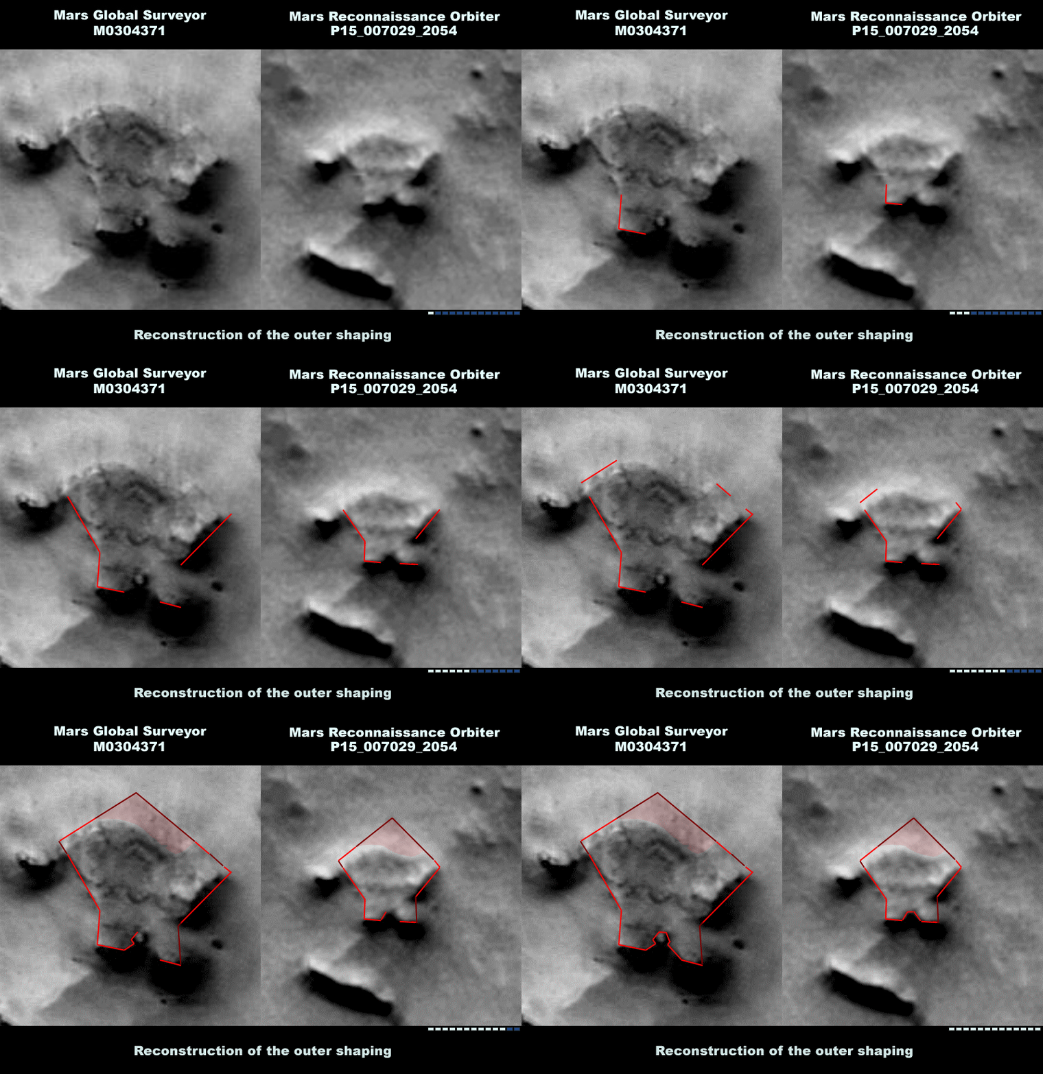
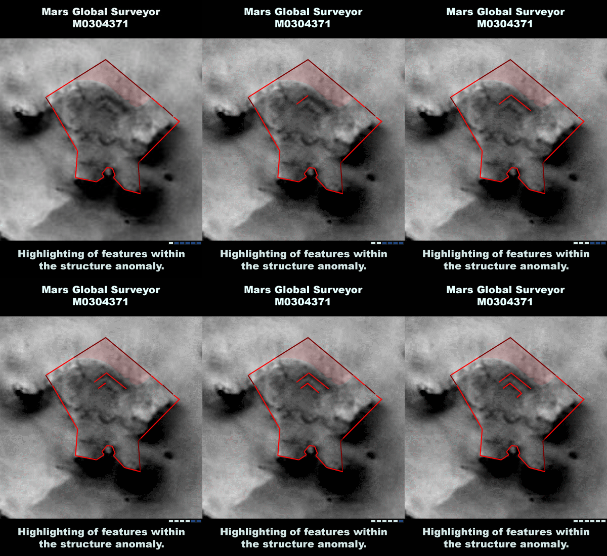
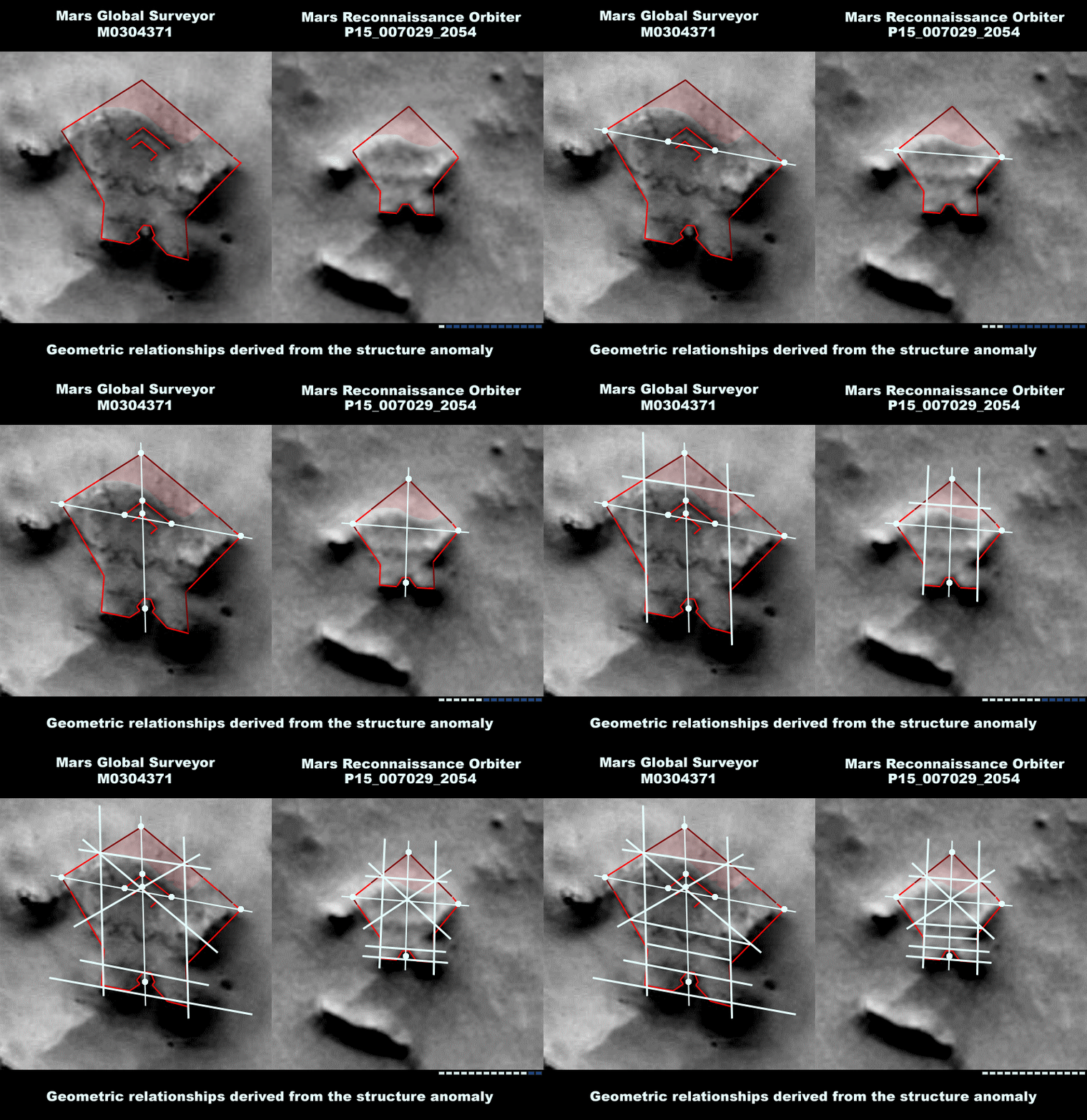
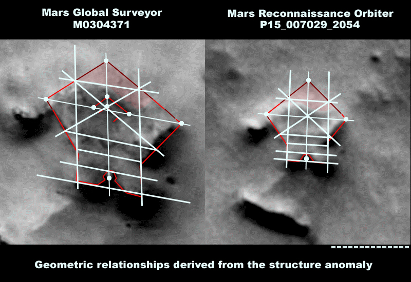
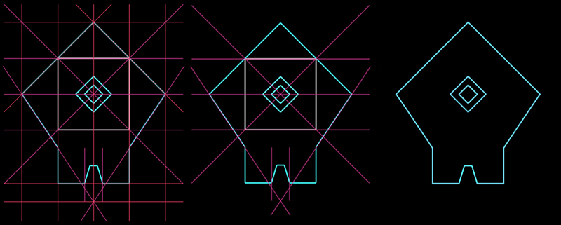
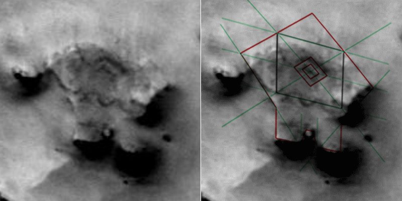
figure D is the intersection point that results from the continuation of existing visible outlines. This is the reason why we said in the first chapter that this could be a point of criticism. Keeping that in mind, we tried to find further indications that are able to refute these doubts. But we just tried it. If these explainations are convincing enough is left to the viewer.
We did recognized the wavy structure from figure h to g, but here it wasn't possible to get one common result in the team. We assume that it belongs to a regular pattern, but that could be part of a subsequent report.
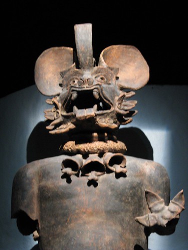
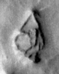
I have also tried to see the glyph/bat you see in this structure, but I can't. I do not exclude that perhaps I'm biased. It is possible that the whole analysis work we already did greatly influenced my own impression. I say this out openly. But I am going to show your images to the other members of the project team, which are possibly already influenced by the analysis so far. But how knows.
Either way, we are convinced that there are huge structures that show artifical constructed depictions of animals and persons and symbols. No doubt with that, but in this case we are just following geometrical relationships and rules that form here a construction with straight edges. We orientate ourselves to a feedback procedure, to see if physical and optical properties also arise in an independently created model/environment. But this is of course just our personal humble opinion.
It is no easy task, I know that. No matter whether someone is generally skeptical or whether someone is convinced to recognize a certain artificial aspect in it. But at least we both have here a common intersection, by assuming that this structure exhibits clear traces of artificial processing. This is after all a greater insight than many other people have, which are not able to recognize these unique signs of an advanced alien culture. Let's if there are any further parallels.
Okay, here is the rest of the report:
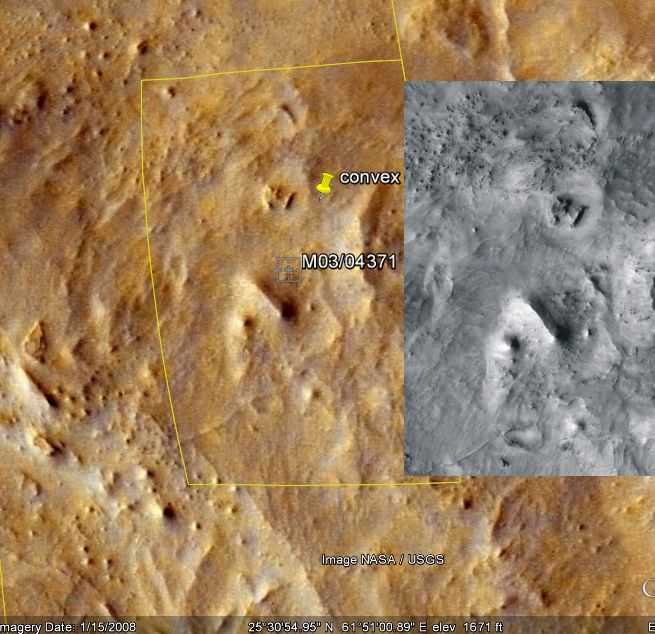
5. Calculation of the Structure SizeThe calculation of the structures sizes on the Martian surface can be considerably simplified by applications such as Google Earth. A built-in program ruler function allows the measurement of a distance between two markers. Based on the CTX-shots that have already mapped a large part of the Martian surface, it is possible to obtain relatively good measurement values on various Martian structures.
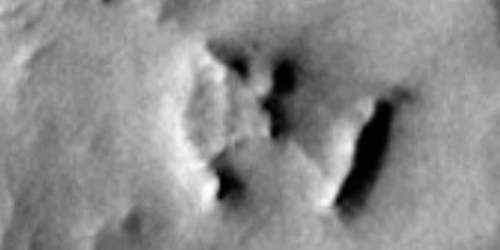 Focus on the structural anomaly via Google Earth
Despite the lower resolution of the CTX images, clear and concise outline features of the present Mars structure can be identified. To obtain a reference value, it makes sense to choose the two vertices in the reconstruction which represent the width of the Mars structure, since these boundary points are clearly visible on the CTX-recording.
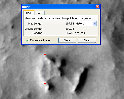 The ruler feature of Google Earth in use
The ruler function shows here for the predetermined distance a value of almost exactly 200 meters. For such measurements, of course one have to allow for some tolerances, but the value is not expected to move much away of these 200 meters. The circumstance that almost exactly 200 meters were measured, we simply take out as a practical fact. Because due to the fact that there is a pattern that follows geometrically derived rules, it is possible to derive all other size values with this one reference size.
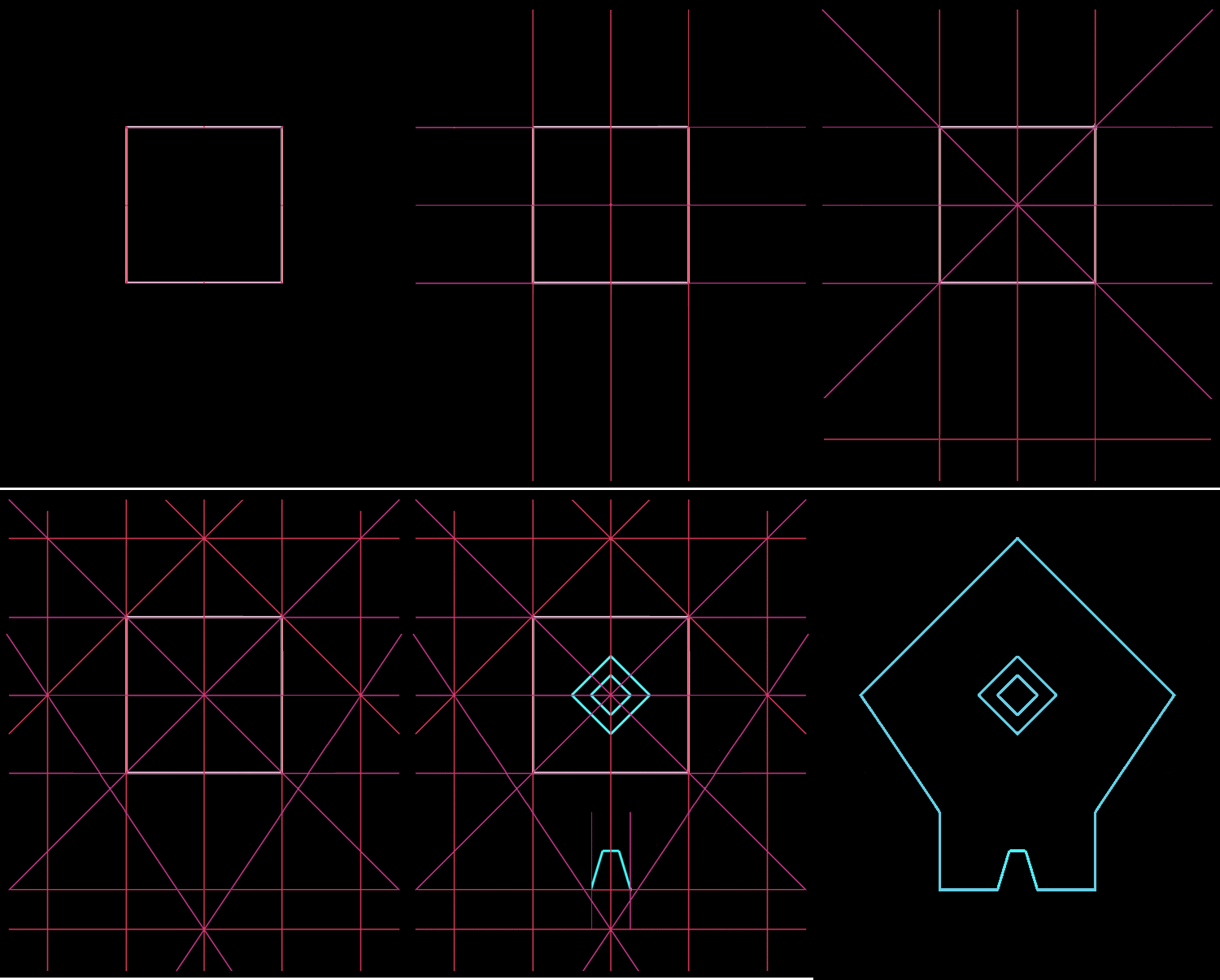
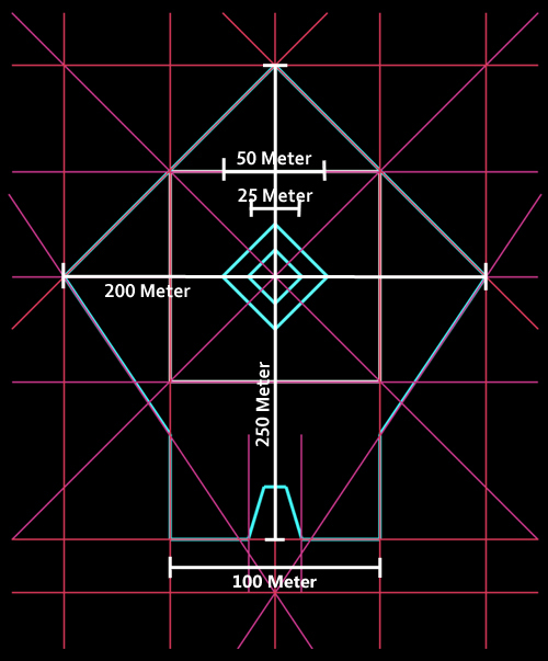 The derived values based on the geometric characteristics of the template
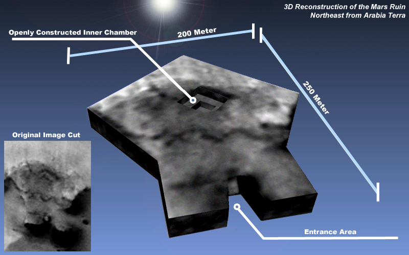
Accordingly, with the width of 200 meters now a total length of 250 meters can be derived. The side length of the outer square in the center must therefore be 50 meters and 25 meters for the inner square. So far, this structure was an abstract entity, but now with the present size information it is possible to gain a sense of the spatial dimensions.
At this point it makes sense to perform a cross-check. According to the derivations the total side length of the back part of the building, at the entrance area, must equal 100 Meters. Cross-checking is ideal here because even on the CTX image this area emerges clearly visible
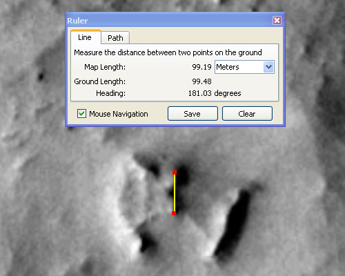 The ruler feature of Google Earth in use
Cross-Check - Rear side lengthWith about 99 meters, the measured result is consistent with the value derived from the template. It is always important to use the opportunity for cross-checks to find and to prevent possible errors and inconsistencies.
At a width and length of 200 by 250 meters this ruin is certainly not a small installation. But with its base it could still fit about five or six times within the Pentagon building. So it is not a rock formation with monstrous proportions. It is also certainly not a small structure. These are dimensions that one would ascribe to a relevant structure.
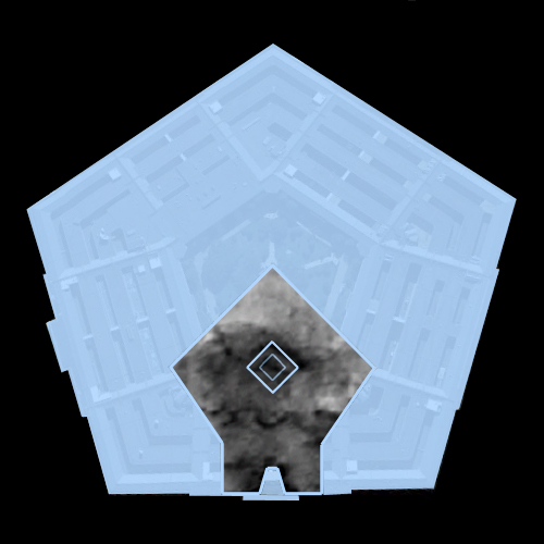 6. Creation of a 3D Model
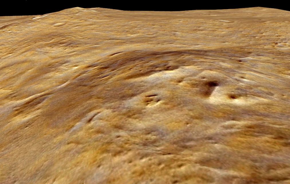
The compliance with the template template that was created according to the specifications of geometric regularities is already amazing enough, however, this is just the beginning. Upon closer examination of the of the probe image it is noticeable that the inner chamber only shows part of a applied square space. According to our template a completely square structure should be located here. It would be easy to explain this circumstance by weathering, as well as sand and dust drifts, which have covered the interior part. One can see quite clearly how the sand piles up around the edges of this "plant". But considering the fact that just a two-dimensional template has served here for the pattern matching, it is probably due the lack of spatial vision that those conditions can not be shown and can not demonstrate what somebody would see, if he looks at a real three-dimensional object with the same perspective tilt. The inability of a 2D template to represent real dimensionality also explains the fact why the innermost square cavity is inconsistent with the template within the pattern matching.
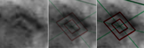
Focus on the "inner chamber" - Comparison with the template
Slight deviation of the innermost square
The outer square line shape however is on the same level/plane with the rest of the the other outlines, which is consequently also in the balance with the original image. It is easy to recognize that the dark square shapes have a certain thickness. An indication that a step-like depression is present here. On a purely 2D template without additional spatial information, it would not be possible to map such details.
In order to present a further possibility, which may serve as evidence of the artificiality of this object, it is absolutely necessary to create a three-dimensional model that is also subject to exactly the same geometric rules. A for this purpose a created 3D model (in a transparent wireframe view) was superimposed over the original photo in order to show the compliance with the outline and the inner chamber.

The 3D model reveals an astonishing detail. Oriented approximately in the same perspective, the model shows just the half the edges of the interior. They are not visible. The viewing angle contributes that the rear inside walls stay hidden and thus for the viewer, or for the probe, virtually no edges can be detected. Consequently this is a natural and verifiable visual effect.
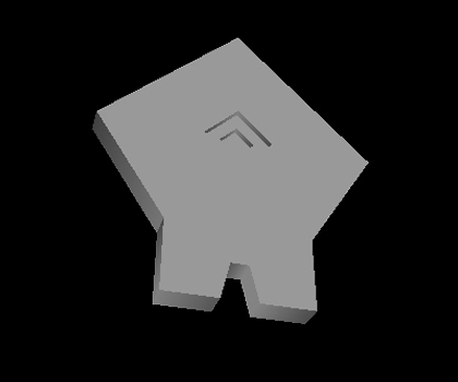
The 3D model without simple texture in the same perspective
Thanks to the Google-Code Project, we have been able to use a script of them, in order to display 3D models in .obj file format. We have to implement the support for the Internet Explorer, but Firefox, Chrome, Safari and Opera have no problem with it. The following link leads directly to page where it is possible to examine the constructed 3D model. It offers an interactive control, where you can freely rotate and zoom in. Furthermore we enabled different viewings modes (wireframe, texture, none):
www.map-base.info/bucket/arabia_terra/3d_model.shtml(Click on image to control the model. Keep left mouse button pressed to rotate. Simultaneously press the shift button and move the mouse to zoom in or out)
It isn't neccessary to download and install appropriate 3D software and to learn how to handle it. The 3D-Script is quite useful for such simple visualization tasks. Even much more complex model can be represented with the script. It is also possible to use own texture images. That's an option we're planing to add to the script. By the way, if anyone is familiar with 3D modelling sofware like Blender, Cinema4d, Autodesk, Meshlab or whatever, here is the download link for the 3D model (in OBJ format) we have used in this example:
www.map-base.info/bucket/arabia_terra/3d_model.objAlso the comparison with the inner chamber can now demonstrate that the spatial representation of the model and the original MOC image can be placed exactly over each other. Actually, it can be illustrated very accurately that the present features can be entirely explained by a step-like depression. This involves the elimination of the lower edges, which extend to the corners of the square inner area, while only the upper half can be seen with its the darker inner walls.
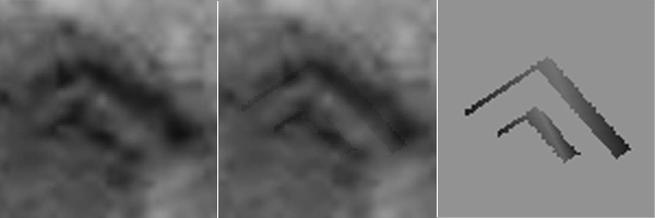 Focus on the "inner chamber" - Crossfade with the 3D model
The images can also solve the inconsistency that had arisen with the 2D template in chapter 4. The outer line of the inner chamber was correctly placed, however the inner line was slightly misplaced. The 3D model can now give a verifable explaination. The inner chamber is constructed in shape of a step-like depression. The 2D template wasn't able to depict spatial depth on a plane. Other aspects are likewise dissolved. The bright spot in the presumed entrance area was outside of the 2D template, but the 3D model can show, that it is placed on a side of the walls, where it makes a logical sense. We can additionally emulate the effect of the sunlight on the model and can explain the dark areas on the original image. These are shadow areas.
 7. Conclusion
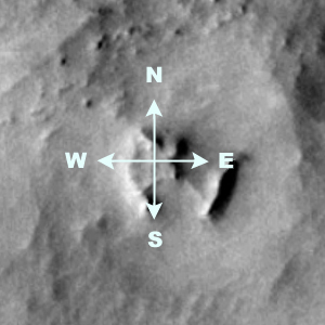
It is possible to set an absolutely symmetrical model that was constructed by geometrically derivable rules congruent on this strucure anomaly. Based on the MOC image of the Mars Global Surveyor probe and the CTX image of the Mars Reconnaissance Orbiter probe, it is also possible to derive more than a dozen reference points that correspond, in case of the MOC image, the logic of the image perspective. Moreover, this formation is accurately aligned to the cardinal points.
The reconstructed 3D model points to a building that has very catchy features that allow, among other things, the allocation of the entrance area. The visible internal square-scale chamber has probably been designed from the outset, to be clearly visible. The function of this building, can not be determined at the moment. But if it turns out that this type of building with its distinctive can also be found shape on Earth, then this could lead to very interesting conclusions. An extensive search for this model shape appears to be very useful and can possibly resolve the question of its function.
At this point, we must become aware of how many coincidences are actually necessary in order to describe these structural anomaly as a rock formation that is created due to natural geological processes. An attempt with different methods of image analysis was made to show evidence of artificial influence. The 3D models can, in turn, explain why certain edges and lines are not visible on the MOC image and can also give conclusive evidence of the construction of this structure anomaly. None of the previously discovered anomalies has such highly symmetric and geometric features, as in this case. There are still other remarkable details, which must be addressed in a further analysis report.
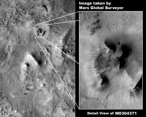
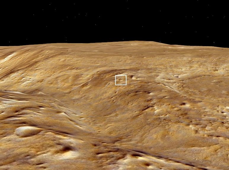
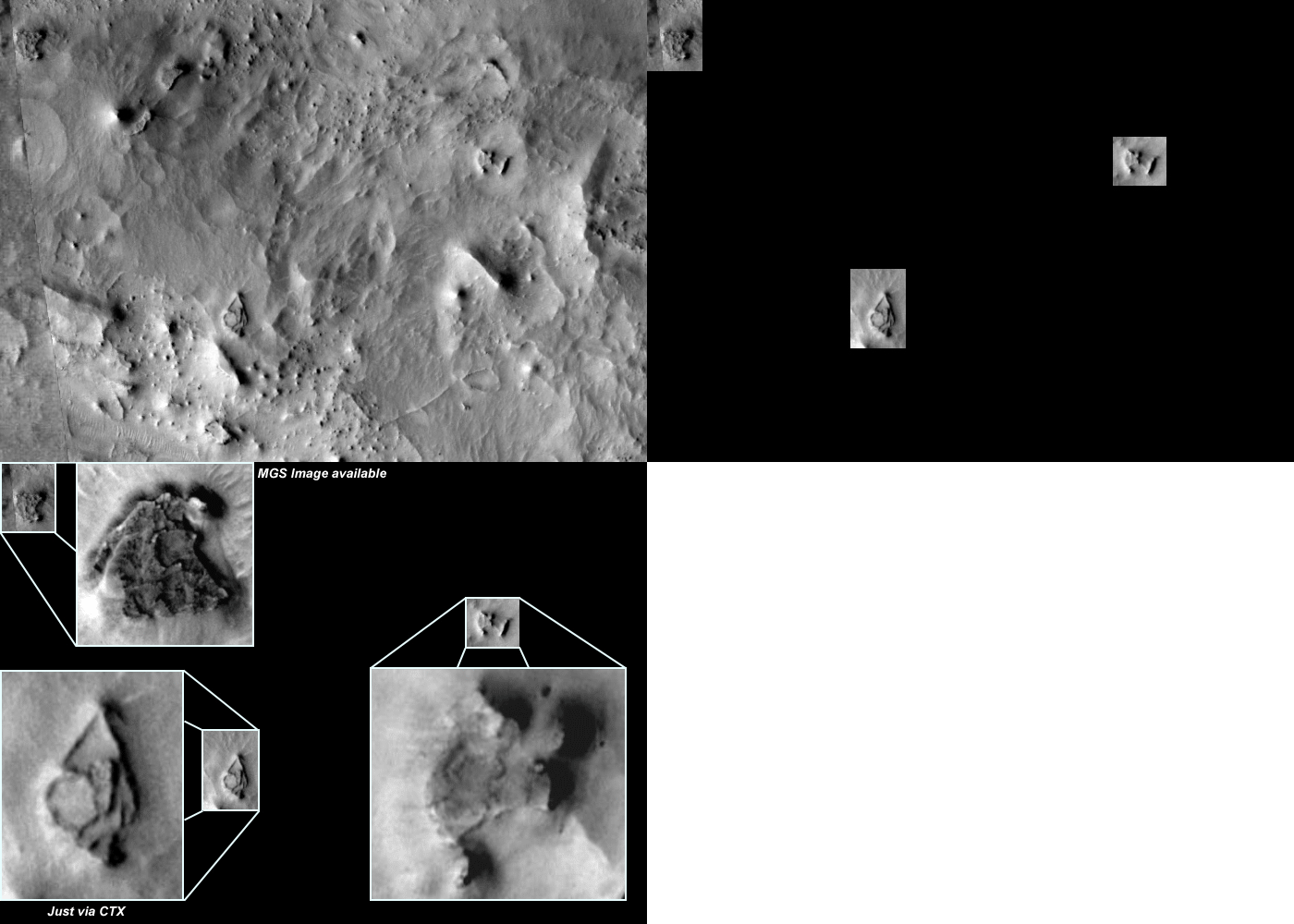
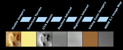
Google Earth offers seven global map views for the examination of the Martian surface, but none of these views would have, in the least, give the impression that there is something special here. Groundbreaking was a high-resolution recording of the Mars Global Surveyor probe, from the series of so-called "Narrow Angle Images". These images map only a very small part of the planet's surface and are of varying quality.
 Focus on the structural anomaly
Results of the various views of the seven global Mars mapsThere are only two options (Visible Imagery and CTX Mosaic) in the selection of the global Mars maps that are suitable for a area analysis with reasonably good resolution. These are, as this case shows, unusable for finding striking structures because it is not possible here to reproduce fine structures and thus to recognize specific details. So these maps are just helpful in the subsequent analysis to find more insightful information and to get an impression of the surrounding area. Without "real" high-resolution images the efficient detection of structural anomalies remain mostly accidental discoveries if we are forced to use only the Visible Imagery/CTX Mosaic Mars map options.
This leads to the last crucial point:
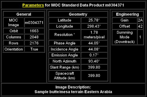
Artificial structures can appear directly in front of us, without recognizing it. This is mainly due to the clever distribution of high- and low-resolution images that are made available. Already at a resolution beyond about 3 to 4 meters per pixel, even large structures can merge with the environment beyond recognition. Global Mars maps (as those based on CTX Mosiacs) suggest that Mars was depicted almost completely in a supposedly high resolution. But this resolution is far too small to identify any artificial structures. Under these conditions the structures must have extremely huge proportions in order to be recognized. Even high-resolution images such as "m030437", which has a resolution of about 1.7 meters per pixel is not noticeable at first glance. The slightly inclined angle is enough to shift the spatial perspective, to make the recognition of symmetric properties very difficult. In addition, sand and dust drifts can cover the outlines of such a structure, and thus the possibilities for finding artificial structues disappear almost entirely.
That was it. Another report is in progress. We assume, that counterparts of this "building" exist on earth. Due to the circumstance that we reconstructed such a template with such a specific geometry, we are measured by this. A corresponding counterpart must match "exactly" with this template. To specify precise requirements is reasonable in order to exclude random coincidences. Just similarities are not enough anymore. The geometric dependencies must be completely fulfilled, in order to give the presumption great weight, which in turn can help to support the accurate interpretation of the Mars ruin. Otherwise, we have to completely discard these assumptions if we can not find earthly examples.
